
Engineering Category
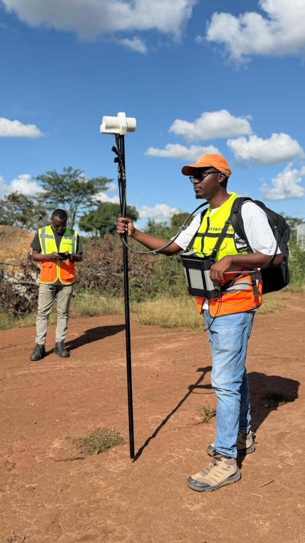
Topographical Survey
Service Overview
"Assess landforms, elevation, slopes, and drainage patterns for layout, design, and stability analysis."
Conducted to assess landforms, elevation, slopes, drainage patterns, and surface features within the project area. The study provides important information for site selection, facility layout, embankment design, water management, and stability assessment.
Accurate topographical data helps ensure safe, efficient, and environmentally sound construction of the project components like Tailing Storage Facility (TSF) and dams.
Request a Quote
Contact our technical staff to receive a tailored engineering proposal and equipment rental timeline.
Inquire NowRelated Capabilities
-
Civil & Structural Engineering
Detailed structural design and construction supervision of commercial and industrial buildings.
-
Geotechnical Investigation
Evaluate strength, stability, and permeability of soil/rock materials to guide TSF foundation design.
-
Hydrogeological Survey
Identify stable ground, flow direction, and aquifer zones via magnetic anomalies and elevation models.
Technical Helpdesk
Case Studies
Completed Studies in This Category